Ride The Bittern Line
Norwich - Cromer & Sheringham
Menu
Home
About
Journey Planner
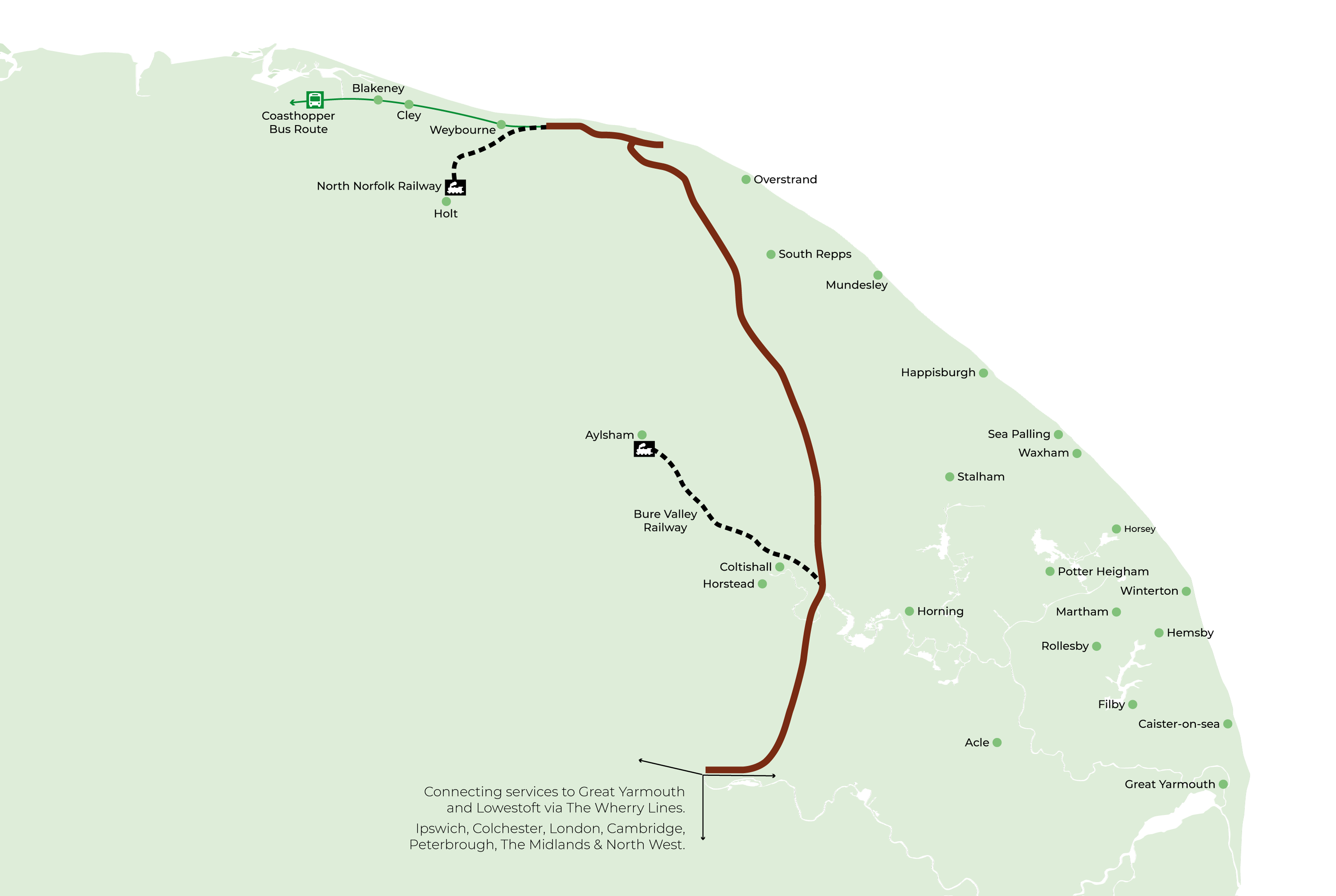
Stations
Norwich
Salhouse
Hoveton & Wroxham
Worstead
North Walsham
Gunton
Roughton Road
Cromer
West Runton
Sheringham
Days Out
News
Contact
Welcome to the Bittern Line
Explore the Line
Plan Your Journey
Tickets & Offers
Explore the countryside
Days Out
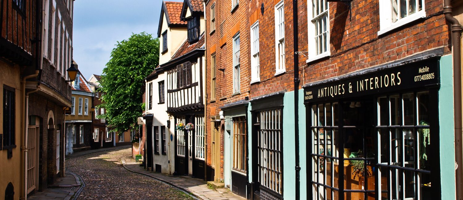
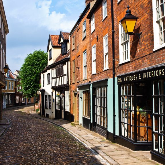
Norwich
Salhouse
Hoveton & Wroxham
Worstead
North Walsham
Gunton
Roughton Road
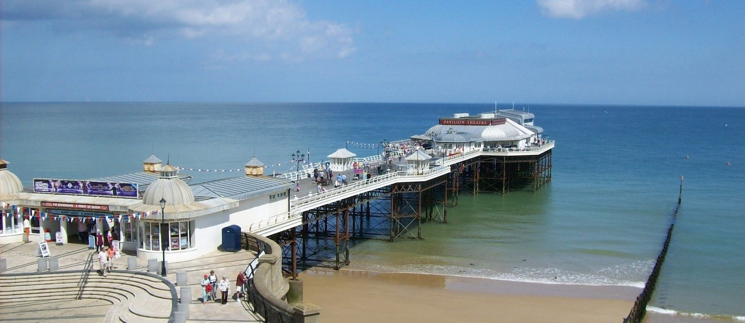
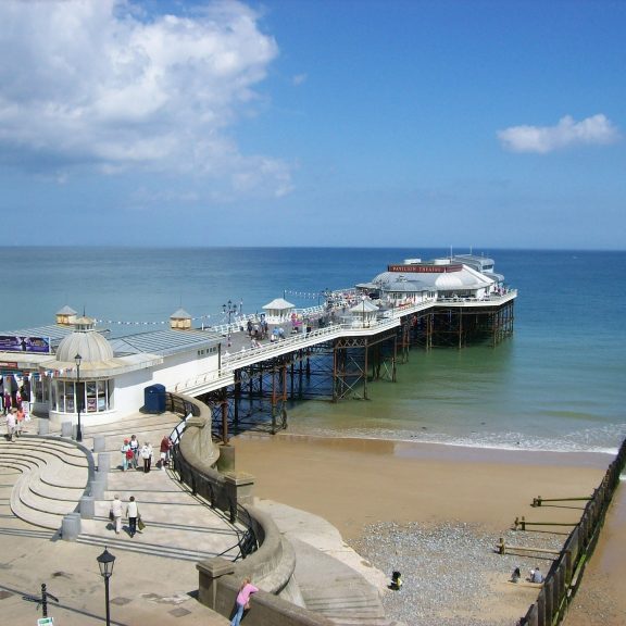
Cromer
West Runton
Sheringham
Explore Norfolk with the Bittern Line
Norwich Station
Find out More
Norwich
Salhouse Station
Find out More
Salhouse
Hoveton & Wroxham Station
Find out More
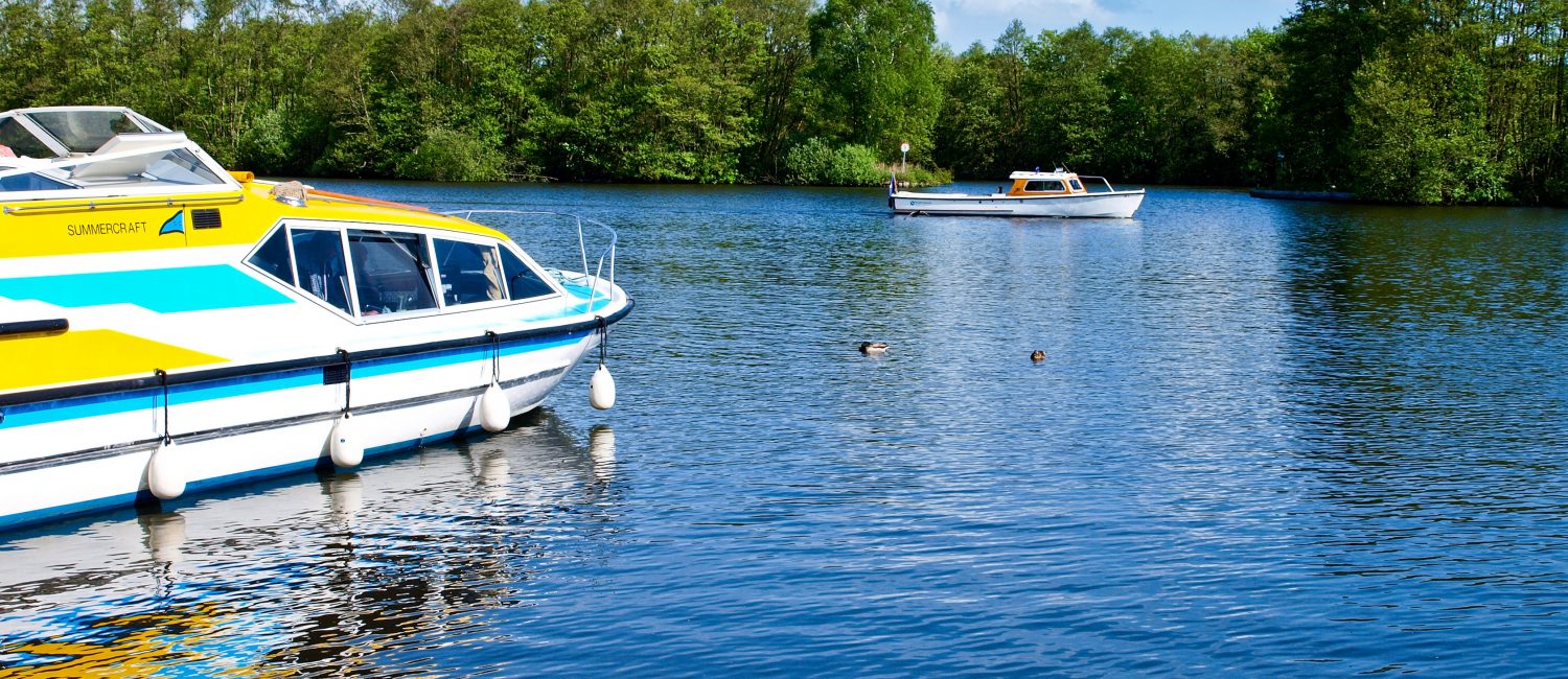
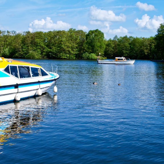
Hoveton & Wroxham
Worstead Station
Find out More
Worstead
North Walsham Station
Find out More
North Walsham
Gunton Station
Find out More
Gunton
Roughton Road Station
Find out More
Roughton Road
Cromer Station
Find out More
Cromer
West Runton Station
Find out More
West Runton
Sheringham Station
Find out More
Sheringham